Station Approach East
Introduction
The photograph on this page of Station Approach East by Ian Capper as part of the Geograph project.
The Geograph project started in 2005 with the aim of publishing, organising and preserving representative images for every square kilometre of Great Britain, Ireland and the Isle of Man.

There are currently over 7.5m images from over 14,400 individuals and you can help contribute to the project by visiting https://www.geograph.org.uk
Station Approach East
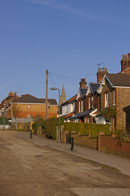
Image: © Ian Capper Taken: 15 Mar 2009
The layout of this road and its continuation beyond the railway (the buildings in the left background are in Station Approach West) would suggest that there was once a level crossing here. Now there is only a pedestrian subway. In the background is the steeple of St Johns Church (see Image).
Images are licensed for reuse under creativecommons.org/licenses/by-sa/2.0
Image Location
Latitude
51.227717
Longitude
-0.170464