Road, canal and railway line at Kilnhurst
Introduction
The photograph on this page of Road, canal and railway line at Kilnhurst by Martin Speck as part of the Geograph project.
The Geograph project started in 2005 with the aim of publishing, organising and preserving representative images for every square kilometre of Great Britain, Ireland and the Isle of Man.

There are currently over 7.5m images from over 14,400 individuals and you can help contribute to the project by visiting https://www.geograph.org.uk
Road, canal and railway line at Kilnhurst
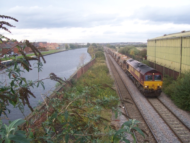
Image: © Martin Speck Taken: 19 Oct 2008
A view of the transport links in Kilnhurst. The canal is very wide at this point because it is the site of Kilnhurst Wharf.
Images are licensed for reuse under creativecommons.org/licenses/by-sa/2.0
Image Location
Latitude
53.473721
Longitude
-1.301807