Croal Mill and residential flats
Introduction
The photograph on this page of Croal Mill and residential flats by Christine Crompton as part of the Geograph project.
The Geograph project started in 2005 with the aim of publishing, organising and preserving representative images for every square kilometre of Great Britain, Ireland and the Isle of Man.

There are currently over 7.5m images from over 14,400 individuals and you can help contribute to the project by visiting https://www.geograph.org.uk
Croal Mill and residential flats
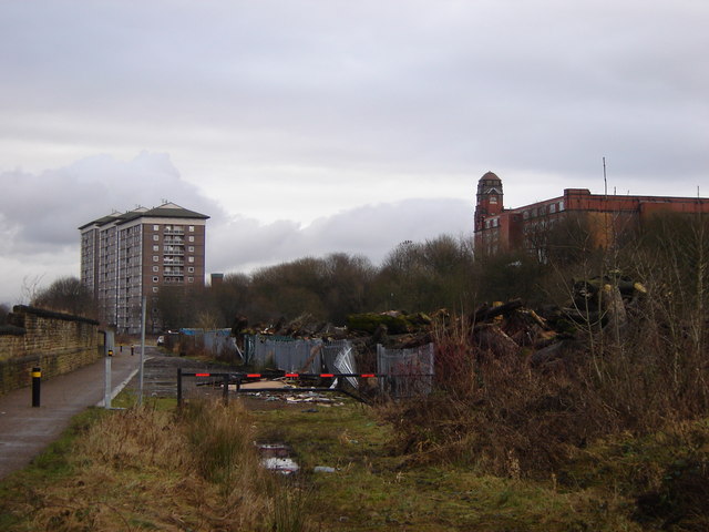
Image: © Christine Crompton Taken: 13 Jan 2009
Walk along the cycle track from Lostock station alongside the railway and River Croal passing industrial and residential sites before arriving in Bolton town centre.
Images are licensed for reuse under creativecommons.org/licenses/by-sa/2.0
Image Location
Latitude
53.575514
Longitude
-2.44381