Nelson Old Brass Band Club
Introduction
The photograph on this page of Nelson Old Brass Band Club by Dr Neil Clifton as part of the Geograph project.
The Geograph project started in 2005 with the aim of publishing, organising and preserving representative images for every square kilometre of Great Britain, Ireland and the Isle of Man.

There are currently over 7.5m images from over 14,400 individuals and you can help contribute to the project by visiting https://www.geograph.org.uk
Nelson Old Brass Band Club
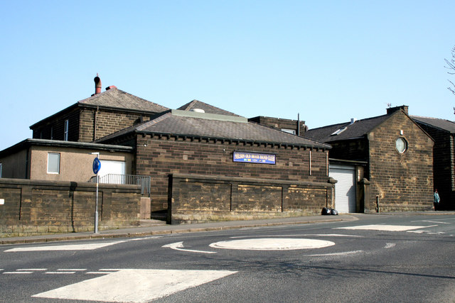
Image: © Dr Neil Clifton Taken: 19 Mar 2009
Usually just known as Nelson Club and housed in what appear to be former school premises. The mini-roundabout forms the junction between Netherfield Road and Barkerhouse Road.
Images are licensed for reuse under creativecommons.org/licenses/by-sa/2.0
Image Location
Latitude
53.837355
Longitude
-2.206173