Huntingtower Castle
Introduction
The photograph on this page of Huntingtower Castle by ronnie leask as part of the Geograph project.
The Geograph project started in 2005 with the aim of publishing, organising and preserving representative images for every square kilometre of Great Britain, Ireland and the Isle of Man.

There are currently over 7.5m images from over 14,400 individuals and you can help contribute to the project by visiting https://www.geograph.org.uk
Huntingtower Castle
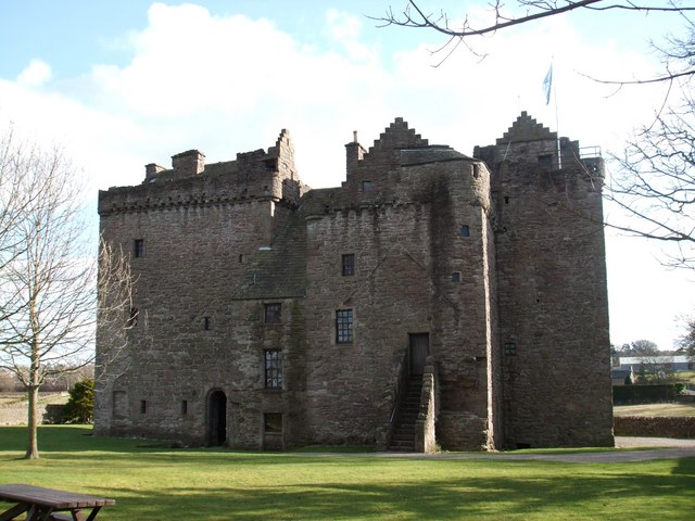
Image: © ronnie leask Taken: 10 Mar 2009
Originally known as Ruthven Castle, home of the Ruthven family, later Earls of Gowrie, the castle consists of two towers, the east dating from the early 15th and west from the late 16th century. They were joined by a gangway. In 1582 the 16 year old King James VI was held captive here in an episode known as the Raid of Ruthven. The object was to remove him from the influence of the Earl of Arran. In 1600 the king had his revenge in the Gowrie Conspiracy when the then Earl and his brother were killed, their estate forfeited the name Ruthven proscribed and the castle's name changed to Huntingtower.
Images are licensed for reuse under creativecommons.org/licenses/by-sa/2.0
Image Location
Latitude
56.409181
Longitude
-3.489289