Cysegr MC Chapel
Introduction
The photograph on this page of Cysegr MC Chapel by Nigel Williams as part of the Geograph project.
The Geograph project started in 2005 with the aim of publishing, organising and preserving representative images for every square kilometre of Great Britain, Ireland and the Isle of Man.

There are currently over 7.5m images from over 14,400 individuals and you can help contribute to the project by visiting https://www.geograph.org.uk
Cysegr MC Chapel
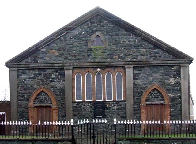
Image: © Nigel Williams Taken: 14 Jan 2006
This chapel is situated on the eastern side of the village of Bethel
Images are licensed for reuse under creativecommons.org/licenses/by-sa/2.0
Image Location


Leaflet Map data © OpenStreetMap
Latitude
53.164466
Longitude
-4.200328