Mapperley Hall Drive
Introduction
The photograph on this page of Mapperley Hall Drive by Alan Murray-Rust as part of the Geograph project.
The Geograph project started in 2005 with the aim of publishing, organising and preserving representative images for every square kilometre of Great Britain, Ireland and the Isle of Man.

There are currently over 7.5m images from over 14,400 individuals and you can help contribute to the project by visiting https://www.geograph.org.uk
Mapperley Hall Drive
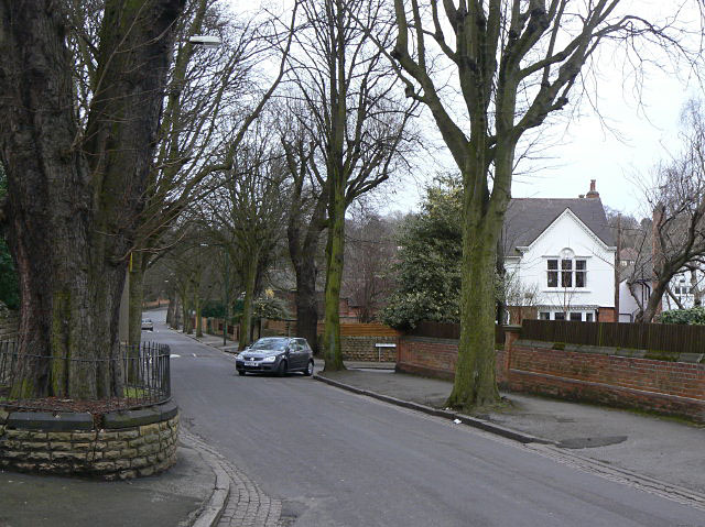
Image: © Alan Murray-Rust Taken: 15 Mar 2009
Typical tree-lined road in Mapperley Park, an area of large houses mainly from the end of the 19th, beginning of the 20th centuries.
Images are licensed for reuse under creativecommons.org/licenses/by-sa/2.0
Image Location
Latitude
52.976078
Longitude
-1.148417