Meridian Way
Introduction
The photograph on this page of Meridian Way by Simon Carey as part of the Geograph project.
The Geograph project started in 2005 with the aim of publishing, organising and preserving representative images for every square kilometre of Great Britain, Ireland and the Isle of Man.

There are currently over 7.5m images from over 14,400 individuals and you can help contribute to the project by visiting https://www.geograph.org.uk
Meridian Way
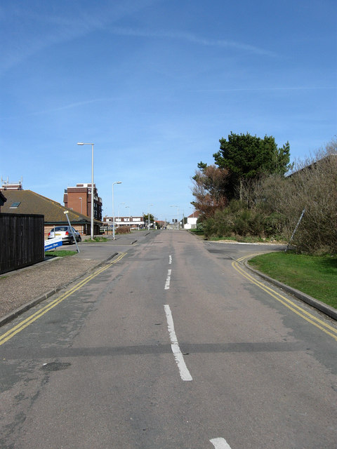
Image: © Simon Carey Taken: 15 Mar 2009
Service road for the Meridian Centre and local health centre which is to the left. The road is actually the former course of Roderick Avenue which originally started at the cliff top then travelled all the way to the northern edge of the proposed town. When the Meridian Centre was constructed in the 1970s, Roderick Avenue was one of the few fully developed roads heading north from the South Coast Road so it was decided to realign the main road from the A259 by getting it to follow Sutton Avenue until it reached Balcombe Court (In the distance on the left) where it became Roderick Avenue. This section was renamed to add to the confusion.
Images are licensed for reuse under creativecommons.org/licenses/by-sa/2.0
Image Location
Latitude
50.796275
Longitude
-0.000392