Field near Chudleigh
Introduction
The photograph on this page of Field near Chudleigh by Derek Harper as part of the Geograph project.
The Geograph project started in 2005 with the aim of publishing, organising and preserving representative images for every square kilometre of Great Britain, Ireland and the Isle of Man.

There are currently over 7.5m images from over 14,400 individuals and you can help contribute to the project by visiting https://www.geograph.org.uk
Field near Chudleigh
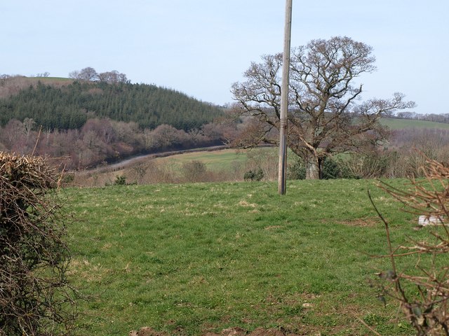
Image: © Derek Harper Taken: 16 Mar 2009
A view from Old Way towards the Teign valley, past a large oak in the middle of the field, with the A38 audible but hidden. The road on the far side of the valley is the B3193 near Lyneham Cross.
Images are licensed for reuse under creativecommons.org/licenses/by-sa/2.0
Image Location
Latitude
50.599515
Longitude
-3.614989