Evergreen on Under Road
Introduction
The photograph on this page of Evergreen on Under Road by Simon Carey as part of the Geograph project.
The Geograph project started in 2005 with the aim of publishing, organising and preserving representative images for every square kilometre of Great Britain, Ireland and the Isle of Man.

There are currently over 7.5m images from over 14,400 individuals and you can help contribute to the project by visiting https://www.geograph.org.uk
Evergreen on Under Road
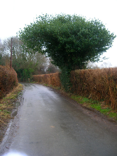
Image: © Simon Carey Taken: 12 Feb 2006
Under Road links Magham Down to Herstmonceux Church and Science Centre. This view looks east just before the road crosses Puckridge Stream.
Images are licensed for reuse under creativecommons.org/licenses/by-sa/2.0
Image Location
Latitude
50.878687
Longitude
0.29143