A20 near Swanley
Introduction
The photograph on this page of A20 near Swanley by Oast House Archive as part of the Geograph project.
The Geograph project started in 2005 with the aim of publishing, organising and preserving representative images for every square kilometre of Great Britain, Ireland and the Isle of Man.

There are currently over 7.5m images from over 14,400 individuals and you can help contribute to the project by visiting https://www.geograph.org.uk
A20 near Swanley
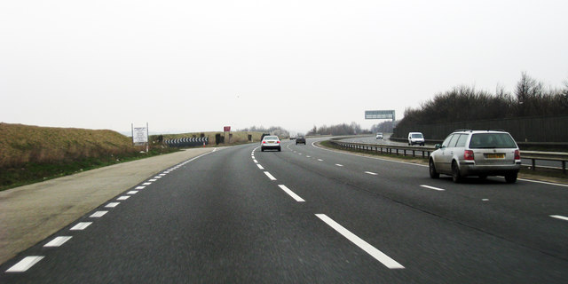
Image: © Oast House Archive Taken: 19 Mar 2009
Private Slip Road to quarry at Windmill Hill Wood.
Images are licensed for reuse under creativecommons.org/licenses/by-sa/2.0
Image Location
Latitude
51.393249
Longitude
0.161514