Hoddern Avenue
Introduction
The photograph on this page of Hoddern Avenue by Simon Carey as part of the Geograph project.
The Geograph project started in 2005 with the aim of publishing, organising and preserving representative images for every square kilometre of Great Britain, Ireland and the Isle of Man.

There are currently over 7.5m images from over 14,400 individuals and you can help contribute to the project by visiting https://www.geograph.org.uk
Hoddern Avenue
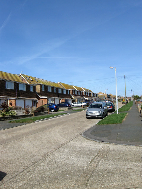
Image: © Simon Carey Taken: 15 Mar 2009
This part of the road would have been developed during the late 1960s on previously vacant plots, the uniformity suggesting that very little but fields existed here. Hoddern Avenue is named after the local farm and stretches from the cliff tops to Firle Road.
Images are licensed for reuse under creativecommons.org/licenses/by-sa/2.0
Image Location
Latitude
50.798405
Longitude
-0.003991