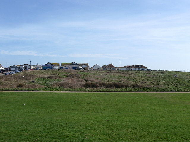
Howard Park
Introduction
The photograph on this page of Howard Park by Simon Carey as part of the Geograph project.
The Geograph project started in 2005 with the aim of publishing, organising and preserving representative images for every square kilometre of Great Britain, Ireland and the Isle of Man.
There are currently over 7.5m images from over 14,400 individuals and you can help contribute to the project by visiting https://www.geograph.org.uk

Image: © Simon Carey Taken: 15 Mar 2009
Viewed from Cairo Avenue South the park dates from the 1990s having previously been wasteland. Beyond is Malines Avenue South a private road that allows access down the cliff to the sea defences. The rough ground on the other side of that road is the site of the former Peacehaven Hotel a showpiece building constructed in 1922 with a variety of amenities including a landscaped Italian themed garden. All that remains today is the hotel's original garage which once stood opposite but for many years has housed small business units. The gardens had overgrown by the 1970s though it was still possible to uncover some of the remains amongst the undergrowth whilst the hotel was demolished in 1987 replaced by a carvery located on the main road out of shot to the left. For the last years of its life it was a pub, the first one I ever got served in!

