Abenbury farmhouse
Introduction
The photograph on this page of Abenbury farmhouse by Geoff Evans as part of the Geograph project.
The Geograph project started in 2005 with the aim of publishing, organising and preserving representative images for every square kilometre of Great Britain, Ireland and the Isle of Man.

There are currently over 7.5m images from over 14,400 individuals and you can help contribute to the project by visiting https://www.geograph.org.uk
Abenbury farmhouse
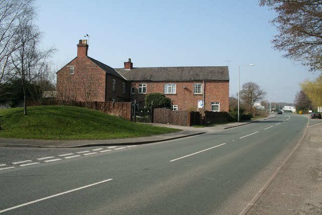
Image: © Geoff Evans Taken: 19 Mar 2009
This well established farmhouse seems to have been enlarged, but probably ceased to be a working farm since the days when this area was a wartime munitions factory.
Images are licensed for reuse under creativecommons.org/licenses/by-sa/2.0
Image Location
Latitude
53.039488
Longitude
-2.930455