The road to Suladale
Introduction
The photograph on this page of The road to Suladale by Richard Dorrell as part of the Geograph project.
The Geograph project started in 2005 with the aim of publishing, organising and preserving representative images for every square kilometre of Great Britain, Ireland and the Isle of Man.

There are currently over 7.5m images from over 14,400 individuals and you can help contribute to the project by visiting https://www.geograph.org.uk
The road to Suladale
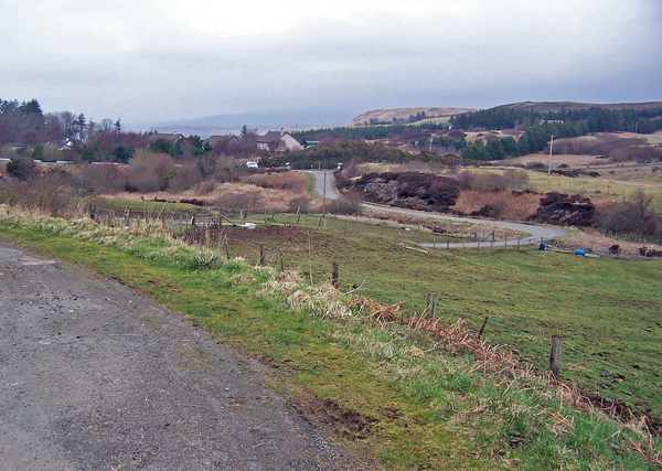
Image: © Richard Dorrell Taken: 18 Mar 2009
Seen here from close to the Skye Riding Centre, the road does a double bend to cross the Allt an Loin Ruaidh.
Images are licensed for reuse under creativecommons.org/licenses/by-sa/2.0
Image Location
Latitude
57.494661
Longitude
-6.373552