End of the spur
Introduction
The photograph on this page of End of the spur by Bill Nicholls as part of the Geograph project.
The Geograph project started in 2005 with the aim of publishing, organising and preserving representative images for every square kilometre of Great Britain, Ireland and the Isle of Man.

There are currently over 7.5m images from over 14,400 individuals and you can help contribute to the project by visiting https://www.geograph.org.uk
End of the spur
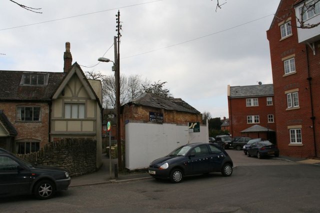
Image: © Bill Nicholls Taken: 1 Mar 2009
The Wantage spur would have stopped around by the hoarding round the old building it is hiding. One hopes it is restored rather than demolished. Update on the building is that is is currently being restored by Boshers of Cholsey.
Images are licensed for reuse under creativecommons.org/licenses/by-sa/2.0
Image Location


Leaflet Map data © OpenStreetMap
Latitude
51.590362
Longitude
-1.428912