Course of Thames & Severn Canal at Thames Head
Introduction
The photograph on this page of Course of Thames & Severn Canal at Thames Head by David Stowell as part of the Geograph project.
The Geograph project started in 2005 with the aim of publishing, organising and preserving representative images for every square kilometre of Great Britain, Ireland and the Isle of Man.

There are currently over 7.5m images from over 14,400 individuals and you can help contribute to the project by visiting https://www.geograph.org.uk
Course of Thames & Severn Canal at Thames Head
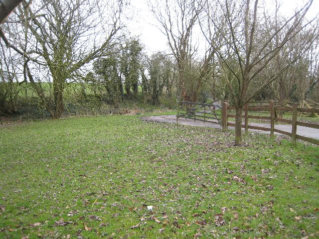
Image: © David Stowell Taken: 12 Mar 2009
To the east of Thames Head Bridge the canal bed has been turned into a driveway. This leads to a private house built on the site of Thames Head pumping station, constructed in an attempt to maintain the water levels in this notoriously leaky length of the canal.
Images are licensed for reuse under creativecommons.org/licenses/by-sa/2.0
Image Location
Latitude
51.689753
Longitude
-2.021652