View across the Thames Valley
Introduction
The photograph on this page of View across the Thames Valley by David Stowell as part of the Geograph project.
The Geograph project started in 2005 with the aim of publishing, organising and preserving representative images for every square kilometre of Great Britain, Ireland and the Isle of Man.

There are currently over 7.5m images from over 14,400 individuals and you can help contribute to the project by visiting https://www.geograph.org.uk
View across the Thames Valley
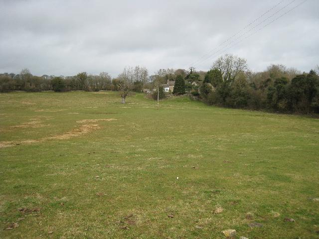
Image: © David Stowell Taken: 12 Mar 2009
Looking from the Wysis Way/Thames Head path across to Thames Head and the line of the Thames & Severn Canal to the left. The land in the foreground is downstream of the official source of the Thames however water only appears here after periods of very wet weather. The hedge to the right marks the line of the Fosse Way.
Images are licensed for reuse under creativecommons.org/licenses/by-sa/2.0
Image Location
Latitude
51.689752
Longitude
-2.023098