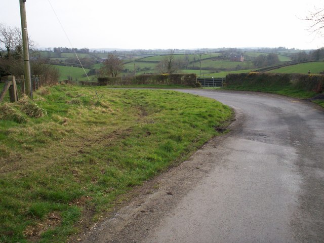
Landscape at Lurganbane Road, Dromore
Introduction
The photograph on this page of Landscape at Lurganbane Road, Dromore by P Flannagan as part of the Geograph project.
The Geograph project started in 2005 with the aim of publishing, organising and preserving representative images for every square kilometre of Great Britain, Ireland and the Isle of Man.
There are currently over 7.5m images from over 14,400 individuals and you can help contribute to the project by visiting https://www.geograph.org.uk

Image: © P Flannagan Taken: 17 Mar 2009
This photograph is a good example of the "Drumlin" landscape of Co Down. The Drumlin Belt consists of tens of thousands of tightly-packed hillocks, called Drumlins, in a wide belt extending from county Down to Donegal Bay. They are poor agriculturally, and the hollows between them tend to become water-logged (although the lower rainfall in the east means that this is more of a problem in the west). People who come from the Drumlin regions tend to be used to being only able to see to the next hill and tend to own small farms.

