Bont, Grwyne Fechan
Introduction
The photograph on this page of Bont, Grwyne Fechan by Natasha Ceridwen de Chroustchoff as part of the Geograph project.
The Geograph project started in 2005 with the aim of publishing, organising and preserving representative images for every square kilometre of Great Britain, Ireland and the Isle of Man.

There are currently over 7.5m images from over 14,400 individuals and you can help contribute to the project by visiting https://www.geograph.org.uk
Bont, Grwyne Fechan
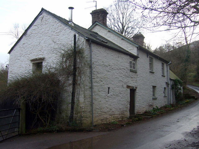
Image: © Natasha Ceridwen de Chroustchoff Taken: 12 Mar 2009
Farm situated where the Nant Banw stream flowing from the NW joins the Grwyne Fechan running from the north. Beyond, the lane curves up towards the other side of the valley. The name Bont mean bridge (mutated from 'pont' so presumably once Y Bont). In this land of few surnames people would typically be named after their dwelling places, accordingly this was once the home of 'Bill the Bont'.
Images are licensed for reuse under creativecommons.org/licenses/by-sa/2.0
Image Location
Latitude
51.895844
Longitude
-3.10603