Top of Church Lane
Introduction
The photograph on this page of Top of Church Lane by Bob Jenkins as part of the Geograph project.
The Geograph project started in 2005 with the aim of publishing, organising and preserving representative images for every square kilometre of Great Britain, Ireland and the Isle of Man.

There are currently over 7.5m images from over 14,400 individuals and you can help contribute to the project by visiting https://www.geograph.org.uk
Top of Church Lane
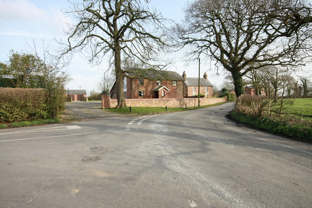
Image: © Bob Jenkins Taken: 17 Mar 2009
Here becomes the start of Hambleton Moss Side, one of many "Moss Sides"
Images are licensed for reuse under creativecommons.org/licenses/by-sa/2.0
Image Location


Leaflet Map data © OpenStreetMap
Latitude
53.875902
Longitude
-2.941474