Telscombe Grange
Introduction
The photograph on this page of Telscombe Grange by Simon Carey as part of the Geograph project.
The Geograph project started in 2005 with the aim of publishing, organising and preserving representative images for every square kilometre of Great Britain, Ireland and the Isle of Man.

There are currently over 7.5m images from over 14,400 individuals and you can help contribute to the project by visiting https://www.geograph.org.uk
Telscombe Grange
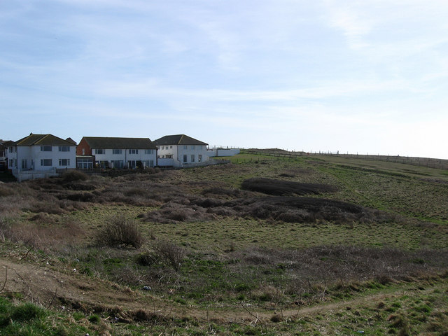
Image: © Simon Carey Taken: 15 Mar 2009
Viewed from the South Coast Road. The land bordered by the A259, cliff top fence , Badgers Watch and the block of flats in view is open access land.
Images are licensed for reuse under creativecommons.org/licenses/by-sa/2.0
Image Location
Latitude
50.794359
Longitude
-0.019914