Under Power in Drybread Lane
Introduction
The photograph on this page of Under Power in Drybread Lane by Bob Jenkins as part of the Geograph project.
The Geograph project started in 2005 with the aim of publishing, organising and preserving representative images for every square kilometre of Great Britain, Ireland and the Isle of Man.

There are currently over 7.5m images from over 14,400 individuals and you can help contribute to the project by visiting https://www.geograph.org.uk
Under Power in Drybread Lane
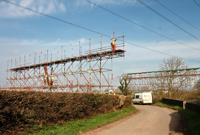
Image: © Bob Jenkins Taken: 17 Mar 2009
The renovation work on the overhead cables completed, the scaffolding is being dismantled.
Images are licensed for reuse under creativecommons.org/licenses/by-sa/2.0
Image Location


Leaflet Map data © OpenStreetMap
Latitude
53.879743
Longitude
-2.909615