Field, Bower Hinton
Introduction
The photograph on this page of Field, Bower Hinton by Derek Harper as part of the Geograph project.
The Geograph project started in 2005 with the aim of publishing, organising and preserving representative images for every square kilometre of Great Britain, Ireland and the Isle of Man.

There are currently over 7.5m images from over 14,400 individuals and you can help contribute to the project by visiting https://www.geograph.org.uk
Field, Bower Hinton
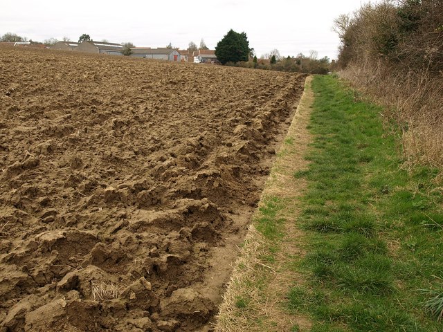
Image: © Derek Harper Taken: 13 Mar 2009
The River Parrett Trail, following footpath Y16/22, runs along the edge of this ploughed field. On the far side are buildings at Bower Hinton.
Images are licensed for reuse under creativecommons.org/licenses/by-sa/2.0
Image Location


Leaflet Map data © OpenStreetMap
Latitude
50.958238
Longitude
-2.772507