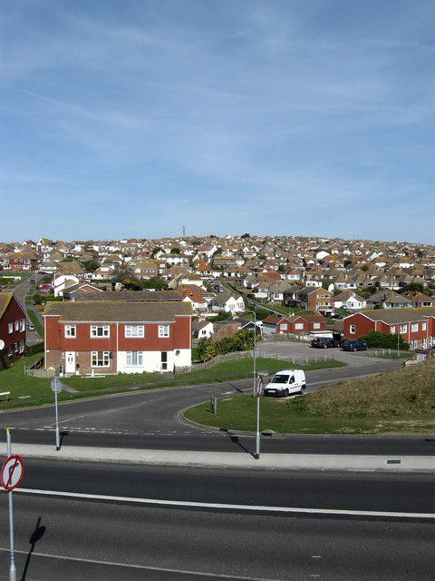
East Saltdean
Introduction
The photograph on this page of East Saltdean by Simon Carey as part of the Geograph project.
The Geograph project started in 2005 with the aim of publishing, organising and preserving representative images for every square kilometre of Great Britain, Ireland and the Isle of Man.
There are currently over 7.5m images from over 14,400 individuals and you can help contribute to the project by visiting https://www.geograph.org.uk

Image: © Simon Carey Taken: 15 Mar 2009
Taken overlooking the junction of South Coast Road, the A259, and Hamsey Road. Saltdean was created after the First World War by entrepreneur Charles Neville also responsible for nearby Peacehaven on what had been open downland populated by sheep for the previous centuries. The nature of landholding meany Neville purchased land that crossed an ancient hundred boundary resulting in the fact that the today the suburb of Saltdean is administered by two separate councils. East Saltdean is governed by the parish council at Telscombe which in turn is answerable to Lewes District Council. Saltdean to the west of Longridge Avenue is run by Brighton & Hove City Council. When I was a teenager living in nearby Peacehaven late night revelries resulting in returning after the last bus meant getting a Brighton taxi to this point then walking the rest of the way because the then policy of having to pay for the taxi's return journey.

