Sims Hill - Still farmland
Introduction
The photograph on this page of Sims Hill - Still farmland by John Phillips as part of the Geograph project.
The Geograph project started in 2005 with the aim of publishing, organising and preserving representative images for every square kilometre of Great Britain, Ireland and the Isle of Man.

There are currently over 7.5m images from over 14,400 individuals and you can help contribute to the project by visiting https://www.geograph.org.uk
Sims Hill - Still farmland
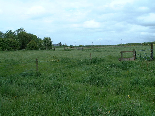
Image: © John Phillips Taken: 20 May 2005
South of the entrance to the Coldharbour Lane site of the University of the west of England - Frenchay Bristol
Images are licensed for reuse under creativecommons.org/licenses/by-sa/2.0
Image Location
Latitude
51.49519
Longitude
-2.541568