Portadown College
Introduction
The photograph on this page of Portadown College by P Flannagan as part of the Geograph project.
The Geograph project started in 2005 with the aim of publishing, organising and preserving representative images for every square kilometre of Great Britain, Ireland and the Isle of Man.

There are currently over 7.5m images from over 14,400 individuals and you can help contribute to the project by visiting https://www.geograph.org.uk
Portadown College
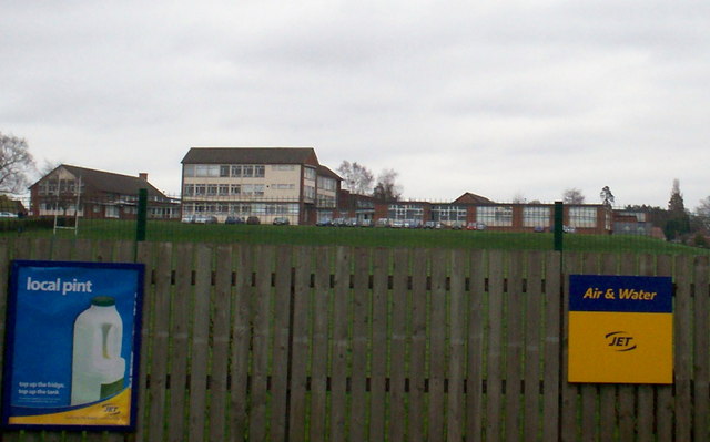
Image: © P Flannagan Taken: 16 Mar 2009
Taken from the boundary of the Gilford Road filling station, across the school's rugby ground, showing the extent of the classrooms.
Images are licensed for reuse under creativecommons.org/licenses/by-sa/2.0
Image Location
Latitude
54.423184
Longitude
-6.423604