Bothenhampton
Introduction
The photograph on this page of Bothenhampton by Nigel Mykura as part of the Geograph project.
The Geograph project started in 2005 with the aim of publishing, organising and preserving representative images for every square kilometre of Great Britain, Ireland and the Isle of Man.

There are currently over 7.5m images from over 14,400 individuals and you can help contribute to the project by visiting https://www.geograph.org.uk
Bothenhampton
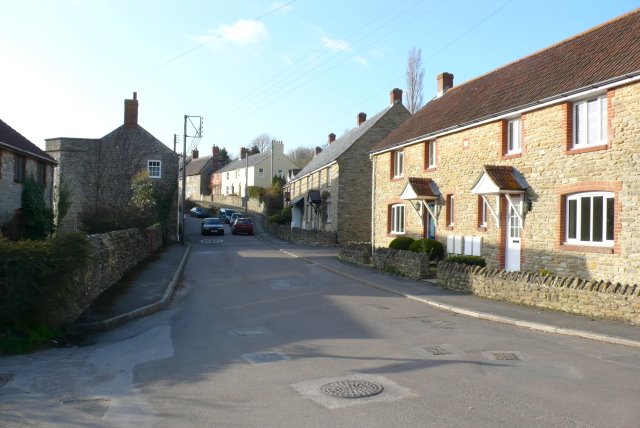
Image: © Nigel Mykura Taken: 15 Mar 2009
A small village on the southern edge of Bridport, this is new build housing on the main street.
Images are licensed for reuse under creativecommons.org/licenses/by-sa/2.0
Image Location
Latitude
50.723062
Longitude
-2.747807