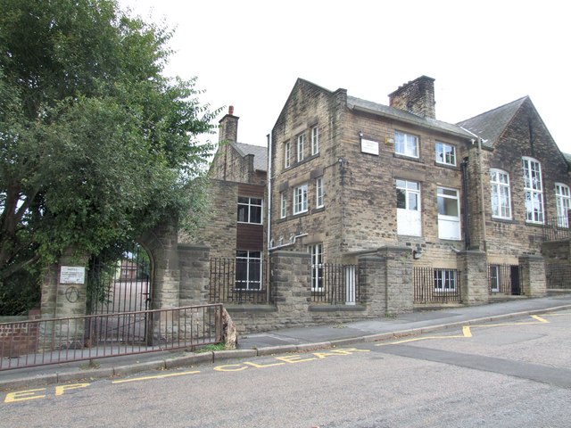
The former Western Road Secondary Modern School, Crookes
Introduction
The photograph on this page of The former Western Road Secondary Modern School, Crookes by Dave Hitchborne as part of the Geograph project.
The Geograph project started in 2005 with the aim of publishing, organising and preserving representative images for every square kilometre of Great Britain, Ireland and the Isle of Man.
There are currently over 7.5m images from over 14,400 individuals and you can help contribute to the project by visiting https://www.geograph.org.uk

Image: © Dave Hitchborne Taken: 26 Aug 2008
The junior school block. Through the arched gateway and to the left was a flight of steps to the first floor of the school. One, or both of those windows with the panelling beneath, used to be doorways into the school. The steps were not a straight flight, but returned in the opposite direction. The first section had a half landing. This link shows the steps http://i14.photobucket.com/albums/a303/escafeld01/WESTERNROADJUNIORSCHOOL.jpg I don’t recall any shelter or canopy to the doorway. The school is now Westways. A tree has been felled outside the gate.

