The former Western Road Secondary Modern School, Crookes
Introduction
The photograph on this page of The former Western Road Secondary Modern School, Crookes by Dave Hitchborne as part of the Geograph project.
The Geograph project started in 2005 with the aim of publishing, organising and preserving representative images for every square kilometre of Great Britain, Ireland and the Isle of Man.

There are currently over 7.5m images from over 14,400 individuals and you can help contribute to the project by visiting https://www.geograph.org.uk
The former Western Road Secondary Modern School, Crookes
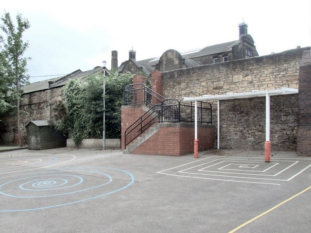
Image: © Dave Hitchborne Taken: 26 Aug 2008
This high wall is part retaining wall. The playground above was built up to level off the steep natural slope. The building at the rear is the old senior school block, now known as Westways.
Images are licensed for reuse under creativecommons.org/licenses/by-sa/2.0
Image Location
Latitude
53.385592
Longitude
-1.502116