Hucknall Road Triangle
Introduction
The photograph on this page of Hucknall Road Triangle by Alan Murray-Rust as part of the Geograph project.
The Geograph project started in 2005 with the aim of publishing, organising and preserving representative images for every square kilometre of Great Britain, Ireland and the Isle of Man.

There are currently over 7.5m images from over 14,400 individuals and you can help contribute to the project by visiting https://www.geograph.org.uk
Hucknall Road Triangle
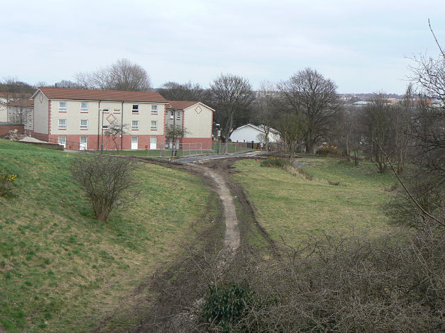
Image: © Alan Murray-Rust Taken: 15 Mar 2009
The site of the junction of the former Nottingham to Derby, and Leen Valley lines of the old GNR. the view is from the bridge where Arnold Road crosses the latter, which roughly followed the curve of the footpath. The main line ran from the flats on the left across to pass under Hucknall Road to the right of the view. The area is being regenerated as natural heathland.
Images are licensed for reuse under creativecommons.org/licenses/by-sa/2.0
Image Location
Latitude
52.990602
Longitude
-1.168243