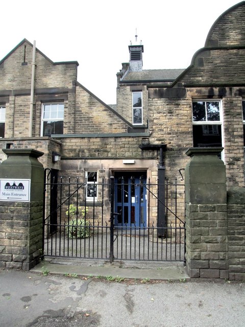
The former Western Road Secondary Modern School, Crookes
Introduction
The photograph on this page of The former Western Road Secondary Modern School, Crookes by Dave Hitchborne as part of the Geograph project.
The Geograph project started in 2005 with the aim of publishing, organising and preserving representative images for every square kilometre of Great Britain, Ireland and the Isle of Man.
There are currently over 7.5m images from over 14,400 individuals and you can help contribute to the project by visiting https://www.geograph.org.uk

Image: © Dave Hitchborne Taken: 26 Aug 2008
The main entrance/exit to the school is on Mona Avenue. This was the original entrance/exit, which is on Western Road and faces the houses opposite. There is a fire exit from the building, further down Western Road. When I did my schooling here, back in the ‘40s and ‘50s, there were another two on the opposite side of the building. All led from the hall, which was used for assembly, school meals and P.E. P.E. was my worst nightmare, but I nearly always got away without doing it. I also ‘escaped’ playing football, except for the once, as ‘they’ quickly realised I had no concept of the game and probably for that same reason, I never ever got to play cricket. When we were all marched off to the playing fields on the Bolehills for cricket and football, I was made to walk or run around the field. ‘They’ never realised my potential for running though, as I could really shift, especially when it was very cold. ‘They’ were obviously too interested in the game, to see me running my little legs off. The school is now called Westways.

