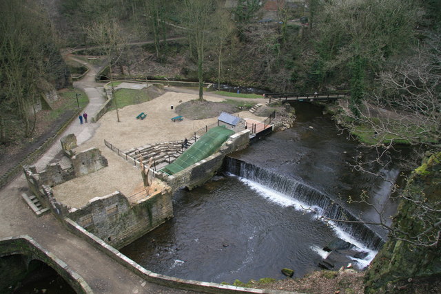
The Torrs, New Mill
Introduction
The photograph on this page of The Torrs, New Mill by Chris Allen as part of the Geograph project.
The Geograph project started in 2005 with the aim of publishing, organising and preserving representative images for every square kilometre of Great Britain, Ireland and the Isle of Man.
There are currently over 7.5m images from over 14,400 individuals and you can help contribute to the project by visiting https://www.geograph.org.uk

Image: © Chris Allen Taken: 15 Mar 2009
This used to be a dangerous overgrown area but is now a pleasant spot for a walk and was proving very popular on a March Sunday. The remains of Torr Mill are left of centre. The green mesh covered device is "Archie" an archimedean screw in reverse that uses falling water to turn a generator (normally a motor turns the screw to lift water). This supplies the local Co-operative store and was churning out 40 kW when seen.

