Robin Hood Way along West Drayton Avenue
Introduction
The photograph on this page of Robin Hood Way along West Drayton Avenue by Tim Heaton as part of the Geograph project.
The Geograph project started in 2005 with the aim of publishing, organising and preserving representative images for every square kilometre of Great Britain, Ireland and the Isle of Man.

There are currently over 7.5m images from over 14,400 individuals and you can help contribute to the project by visiting https://www.geograph.org.uk
Robin Hood Way along West Drayton Avenue
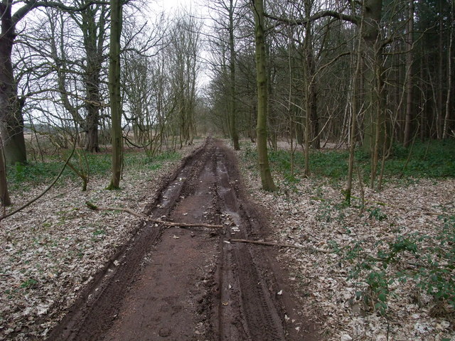
Image: © Tim Heaton Taken: 14 Mar 2009
After leaving Clumber Park, and crossing the busy A614, the Way enters Normanton Larches along an old road which used to connect Clumber House with West Drayton.
Images are licensed for reuse under creativecommons.org/licenses/by-sa/2.0
Image Location
Latitude
53.263142
Longitude
-1.024138