Tavistock: River Tavy Weir
Introduction
The photograph on this page of Tavistock: River Tavy Weir by brian as part of the Geograph project.
The Geograph project started in 2005 with the aim of publishing, organising and preserving representative images for every square kilometre of Great Britain, Ireland and the Isle of Man.

There are currently over 7.5m images from over 14,400 individuals and you can help contribute to the project by visiting https://www.geograph.org.uk
Tavistock: River Tavy Weir
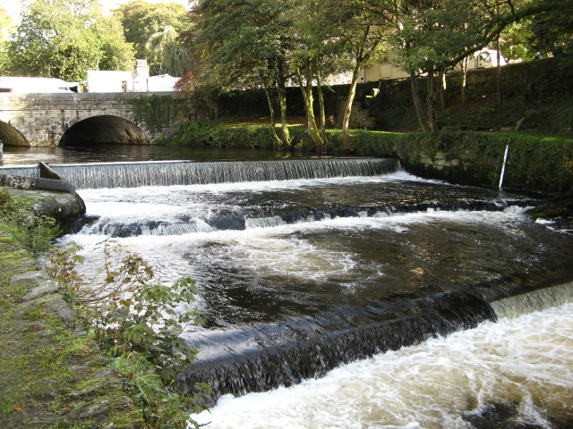
Image: © brian Taken: 8 Oct 2008
The weir in full flow just down river from Abbey Bridge. There is a very popular walk along a path from the bridge down to the park.
Images are licensed for reuse under creativecommons.org/licenses/by-sa/2.0
Image Location


Leaflet Map data © OpenStreetMap
Latitude
50.548154
Longitude
-4.144544