Ockley Cricket Club
Introduction
The photograph on this page of Ockley Cricket Club by David Howard as part of the Geograph project.
The Geograph project started in 2005 with the aim of publishing, organising and preserving representative images for every square kilometre of Great Britain, Ireland and the Isle of Man.

There are currently over 7.5m images from over 14,400 individuals and you can help contribute to the project by visiting https://www.geograph.org.uk
Ockley Cricket Club
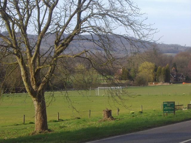
Image: © David Howard Taken: 16 Mar 2009
On Stane Street with the North Downs behind.
Images are licensed for reuse under creativecommons.org/licenses/by-sa/2.0
Image Location
Latitude
51.146625
Longitude
-0.362596