Waterfront flats
Introduction
The photograph on this page of Waterfront flats by Rick Crowley as part of the Geograph project.
The Geograph project started in 2005 with the aim of publishing, organising and preserving representative images for every square kilometre of Great Britain, Ireland and the Isle of Man.

There are currently over 7.5m images from over 14,400 individuals and you can help contribute to the project by visiting https://www.geograph.org.uk
Waterfront flats
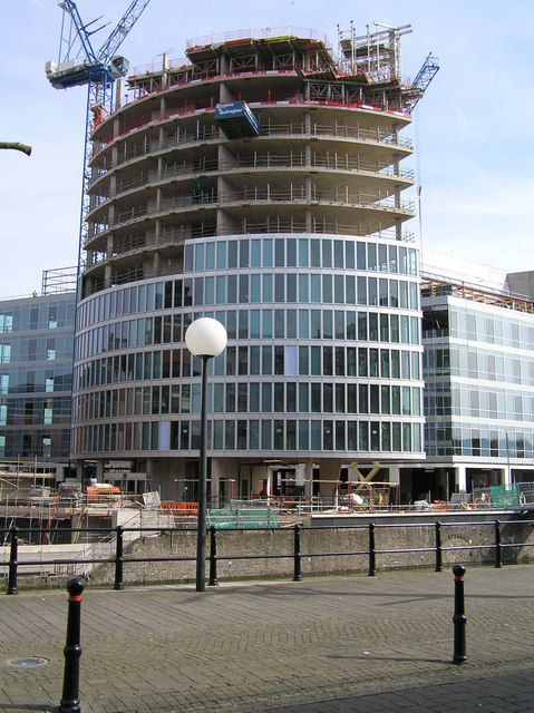
Image: © Rick Crowley Taken: 16 Mar 2009
Part of a new development built in 2008/2009. The main part will have six flats per floor.Updated on Image
Images are licensed for reuse under creativecommons.org/licenses/by-sa/2.0
Image Location
Latitude
51.452211
Longitude
-2.579052