Brawdy airstrip
Introduction
The photograph on this page of Brawdy airstrip by Deborah Tilley as part of the Geograph project.
The Geograph project started in 2005 with the aim of publishing, organising and preserving representative images for every square kilometre of Great Britain, Ireland and the Isle of Man.

There are currently over 7.5m images from over 14,400 individuals and you can help contribute to the project by visiting https://www.geograph.org.uk
Brawdy airstrip
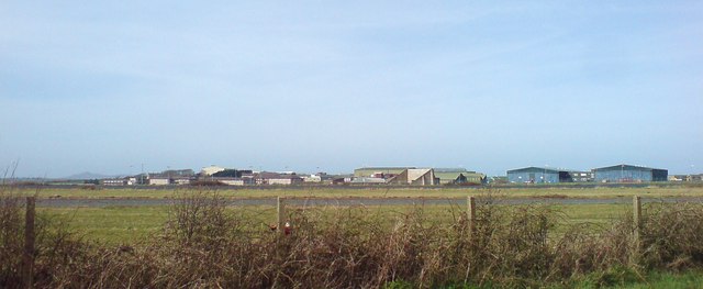
Image: © Deborah Tilley Taken: 16 Mar 2009
Not much in use these days.
Images are licensed for reuse under creativecommons.org/licenses/by-sa/2.0
Image Location
Latitude
51.874037
Longitude
-5.123709