Downland Above Rottingdean
Introduction
The photograph on this page of Downland Above Rottingdean by Simon Carey as part of the Geograph project.
The Geograph project started in 2005 with the aim of publishing, organising and preserving representative images for every square kilometre of Great Britain, Ireland and the Isle of Man.

There are currently over 7.5m images from over 14,400 individuals and you can help contribute to the project by visiting https://www.geograph.org.uk
Downland Above Rottingdean
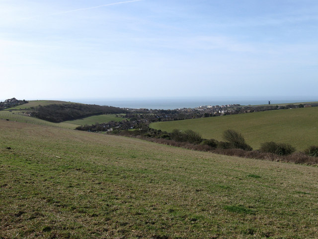
Image: © Simon Carey Taken: 15 Mar 2009
Same view as Image four years on. Rottingdean windmill is to the right.
Images are licensed for reuse under creativecommons.org/licenses/by-sa/2.0
Image Location
Latitude
50.811502
Longitude
-0.04985