Balsdean Cottages
Introduction
The photograph on this page of Balsdean Cottages by Simon Carey as part of the Geograph project.
The Geograph project started in 2005 with the aim of publishing, organising and preserving representative images for every square kilometre of Great Britain, Ireland and the Isle of Man.

There are currently over 7.5m images from over 14,400 individuals and you can help contribute to the project by visiting https://www.geograph.org.uk
Balsdean Cottages
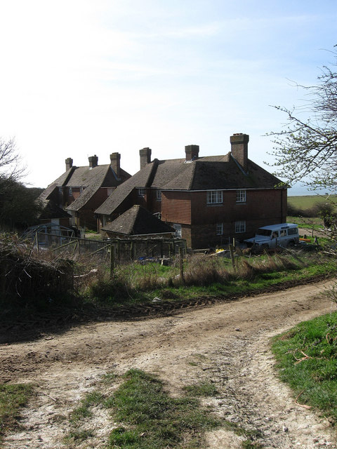
Image: © Simon Carey Taken: 15 Mar 2009
The small hamlet of Balsdean now consists of a farm, these four cottages and a pumping station in the valley below. Once a populous but remote hamlet based around two farms and possessing its own chapel which was built in the 12th century and survived as a farm outbuilding up to the Second World War when all the buildings in the hamlet were reduced to rubble by the Canadian Artillery using them as target practice. The cottages were rebuilt after the war and moved out of the valley to this position.
Images are licensed for reuse under creativecommons.org/licenses/by-sa/2.0
Image Location
Latitude
50.820073
Longitude
-0.046086