Brimaston Hall. East of the Medieval settlement of Bremerston/ Treowman
Introduction
The photograph on this page of Brimaston Hall. East of the Medieval settlement of Bremerston/ Treowman by Deborah Tilley as part of the Geograph project.
The Geograph project started in 2005 with the aim of publishing, organising and preserving representative images for every square kilometre of Great Britain, Ireland and the Isle of Man.

There are currently over 7.5m images from over 14,400 individuals and you can help contribute to the project by visiting https://www.geograph.org.uk
Brimaston Hall. East of the Medieval settlement of Bremerston/ Treowman
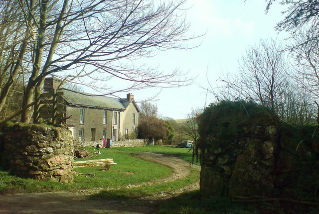
Image: © Deborah Tilley Taken: 16 Mar 2009
Images are licensed for reuse under creativecommons.org/licenses/by-sa/2.0
Image Location
Latitude
51.885697
Longitude
-5.007665