Berry Hill, Stoke on Trent
Introduction
The photograph on this page of Berry Hill, Stoke on Trent by Phil Eptlett as part of the Geograph project.
The Geograph project started in 2005 with the aim of publishing, organising and preserving representative images for every square kilometre of Great Britain, Ireland and the Isle of Man.

There are currently over 7.5m images from over 14,400 individuals and you can help contribute to the project by visiting https://www.geograph.org.uk
Berry Hill, Stoke on Trent
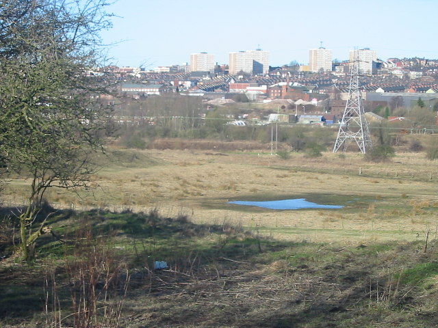
Image: © Phil Eptlett Taken: 9 Feb 2006
Looking from the edge of the Berry Hill housing estate across open land that was once part of the Berry Hill colliery. In the background can be seen Hanley one of The Potteries six towns.
Images are licensed for reuse under creativecommons.org/licenses/by-sa/2.0
Image Location


Leaflet Map data © OpenStreetMap
Latitude
53.014792
Longitude
-2.162429