Saltdean Vale
Introduction
The photograph on this page of Saltdean Vale by Simon Carey as part of the Geograph project.
The Geograph project started in 2005 with the aim of publishing, organising and preserving representative images for every square kilometre of Great Britain, Ireland and the Isle of Man.

There are currently over 7.5m images from over 14,400 individuals and you can help contribute to the project by visiting https://www.geograph.org.uk
Saltdean Vale
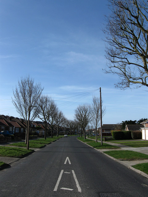
Image: © Simon Carey Taken: 15 Mar 2009
Running across the floor of what was once a dry valley and has subsequenly become the main feeder road for the northern end of Saltdean and the A259.
Images are licensed for reuse under creativecommons.org/licenses/by-sa/2.0
Image Location
Latitude
50.807066
Longitude
-0.037403