Footpath north of Parker's Farm, Rownhams
Introduction
The photograph on this page of Footpath north of Parker's Farm, Rownhams by Peter Facey as part of the Geograph project.
The Geograph project started in 2005 with the aim of publishing, organising and preserving representative images for every square kilometre of Great Britain, Ireland and the Isle of Man.

There are currently over 7.5m images from over 14,400 individuals and you can help contribute to the project by visiting https://www.geograph.org.uk
Footpath north of Parker's Farm, Rownhams
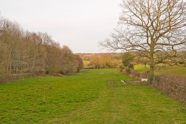
Image: © Peter Facey Taken: 15 Mar 2009
Routs Copse is on the left. The other side of the copse is the southern part of Rownhams motorway service area.
Images are licensed for reuse under creativecommons.org/licenses/by-sa/2.0
Image Location
Latitude
50.955623
Longitude
-1.447544