Footpath to Sunrise Hill
Introduction
The photograph on this page of Footpath to Sunrise Hill by Alan Murray-Rust as part of the Geograph project.
The Geograph project started in 2005 with the aim of publishing, organising and preserving representative images for every square kilometre of Great Britain, Ireland and the Isle of Man.

There are currently over 7.5m images from over 14,400 individuals and you can help contribute to the project by visiting https://www.geograph.org.uk
Footpath to Sunrise Hill
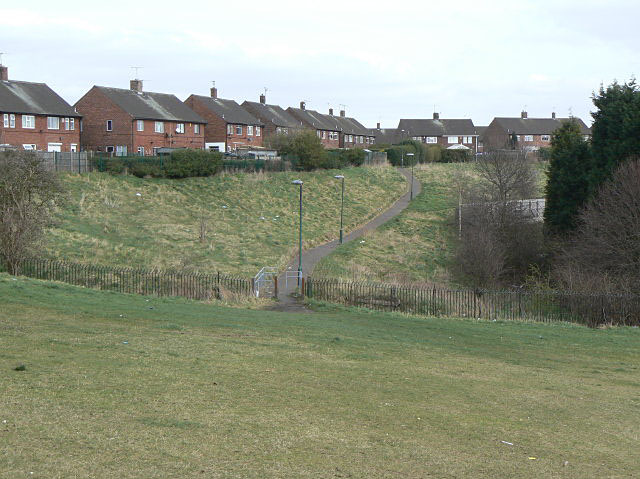
Image: © Alan Murray-Rust Taken: 15 Mar 2009
The land in the foreground forms the grounds of the former Padstow School, hence the fence and the brak in the footpath. The area is now accessible as open space.
Images are licensed for reuse under creativecommons.org/licenses/by-sa/2.0
Image Location
Latitude
52.99569
Longitude
-1.163079