Raymede Drive
Introduction
The photograph on this page of Raymede Drive by Alan Murray-Rust as part of the Geograph project.
The Geograph project started in 2005 with the aim of publishing, organising and preserving representative images for every square kilometre of Great Britain, Ireland and the Isle of Man.

There are currently over 7.5m images from over 14,400 individuals and you can help contribute to the project by visiting https://www.geograph.org.uk
Raymede Drive
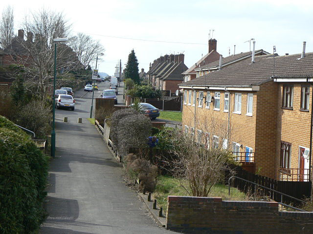
Image: © Alan Murray-Rust Taken: 15 Mar 2009
The road is visible in the distance as part of the olde development and curves behind the newer houses to its right. The pathway provides the front access to the houses as well as those on Peary Close to the left.
Images are licensed for reuse under creativecommons.org/licenses/by-sa/2.0
Image Location
Latitude
52.997367
Longitude
-1.17154