Collapsed end of Derelict Farm Barn
Introduction
The photograph on this page of Collapsed end of Derelict Farm Barn by Chris Reynolds as part of the Geograph project.
The Geograph project started in 2005 with the aim of publishing, organising and preserving representative images for every square kilometre of Great Britain, Ireland and the Isle of Man.

There are currently over 7.5m images from over 14,400 individuals and you can help contribute to the project by visiting https://www.geograph.org.uk
Collapsed end of Derelict Farm Barn
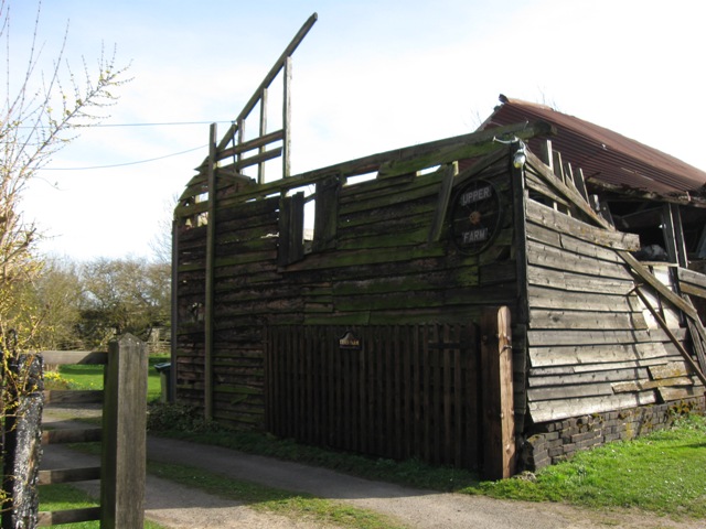
Image: © Chris Reynolds Taken: 15 Mar 2009
The roof timbers at the end have collapsed inwards, bringing the roof down. This has happen recently, possibly during the heavy snow falls in February 2009.
Images are licensed for reuse under creativecommons.org/licenses/by-sa/2.0
Image Location
Latitude
51.801009
Longitude
-0.694177