Shrubland survival
Introduction
The photograph on this page of Shrubland survival by Colin Craig as part of the Geograph project.
The Geograph project started in 2005 with the aim of publishing, organising and preserving representative images for every square kilometre of Great Britain, Ireland and the Isle of Man.

There are currently over 7.5m images from over 14,400 individuals and you can help contribute to the project by visiting https://www.geograph.org.uk
Shrubland survival
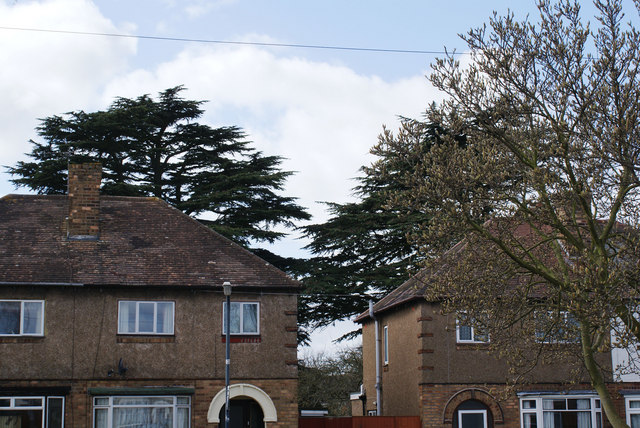
Image: © Colin Craig Taken: 14 Mar 2009
Two of the remaining ornamental cedar of lebanon trees from the former Shrubland House estate in Leamington Spa peek above the council housing that now covers the demolished mansion's landscape.
Images are licensed for reuse under creativecommons.org/licenses/by-sa/2.0
Image Location
Latitude
52.280636
Longitude
-1.541747