Bourn Meadows
Introduction
The photograph on this page of Bourn Meadows by Colin Smith as part of the Geograph project.
The Geograph project started in 2005 with the aim of publishing, organising and preserving representative images for every square kilometre of Great Britain, Ireland and the Isle of Man.

There are currently over 7.5m images from over 14,400 individuals and you can help contribute to the project by visiting https://www.geograph.org.uk
Bourn Meadows
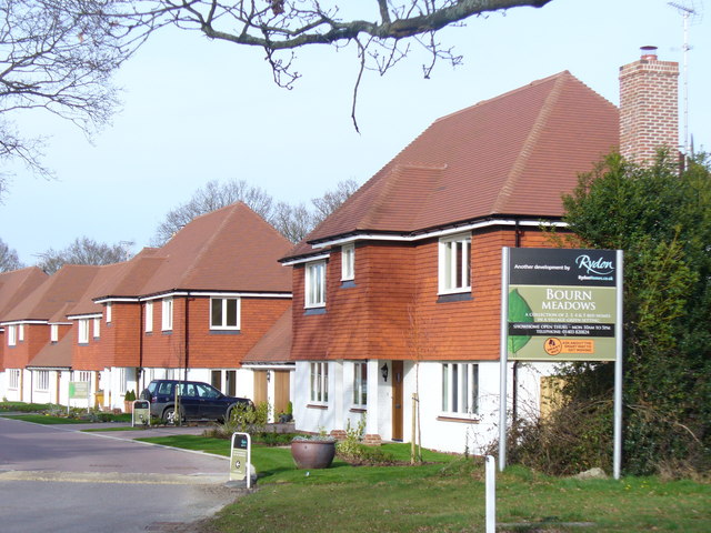
Image: © Colin Smith Taken: 15 Mar 2009
Modern upmarket private housing development in Kirdford. Built in vernacular "tile-hung cottage look".
Images are licensed for reuse under creativecommons.org/licenses/by-sa/2.0
Image Location
Latitude
51.033138
Longitude
-0.553716