St. Oswald's Way Logo
Introduction
The photograph on this page of St. Oswald's Way Logo by Chris Heaton as part of the Geograph project.
The Geograph project started in 2005 with the aim of publishing, organising and preserving representative images for every square kilometre of Great Britain, Ireland and the Isle of Man.

There are currently over 7.5m images from over 14,400 individuals and you can help contribute to the project by visiting https://www.geograph.org.uk
St. Oswald's Way Logo
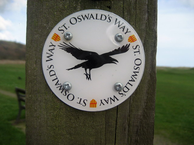
Image: © Chris Heaton Taken: 4 Mar 2009
Direction finding logo for St. Oswald's Way in Alnmouth. It is a long distance walk that stretches from Heavenfield near Hadrian's Wall to Holy Island - a distance of 97 miles. It adopts the best bits of the Northumberland Coast Path to accomplish this.
Images are licensed for reuse under creativecommons.org/licenses/by-sa/2.0
Image Location


Leaflet Map data © OpenStreetMap
Latitude
55.389283
Longitude
-1.611176